Satellite constellation for broadband in the Arctic
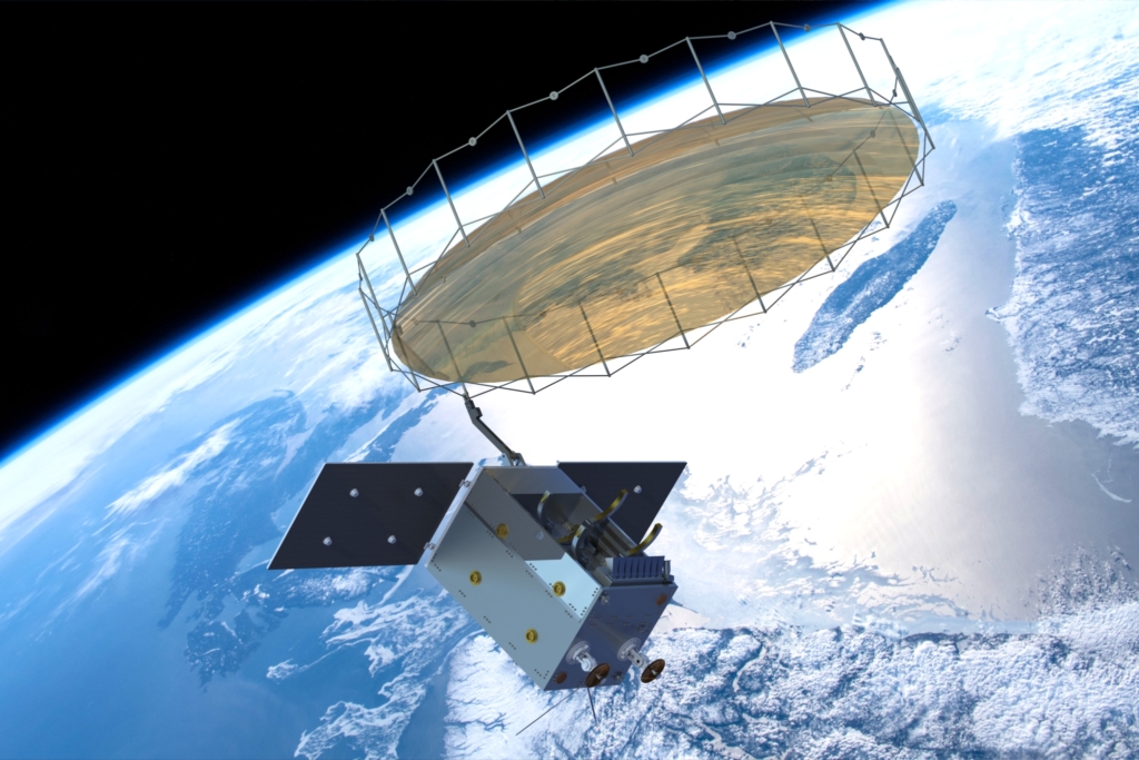
Traditional solutions for broadband communication via satellite are mainly based on geostationary satellites. These are satellites that are located above the equator and provide communication coverage to large parts of the Earth’s surface. Communication via satellite requires that the user terminal has a clear view of the satellite. In areas north of the 75° N , geostationary satellites are too low above – or even below – the horizon that communication does not work. Broadband via satellite in these areas has therefore not been possible. Space Norway’s new satellite constellation in a highly elliptical orbit over the Arctic is about to change this.
Radar Satellites for Maritime Surveillance
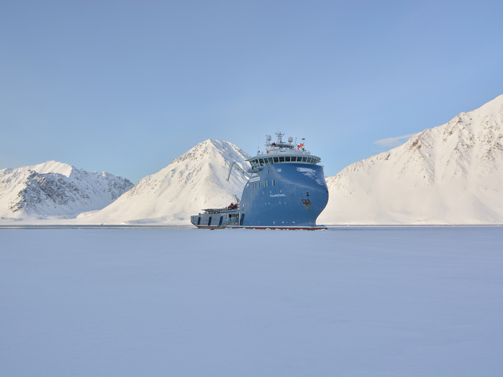
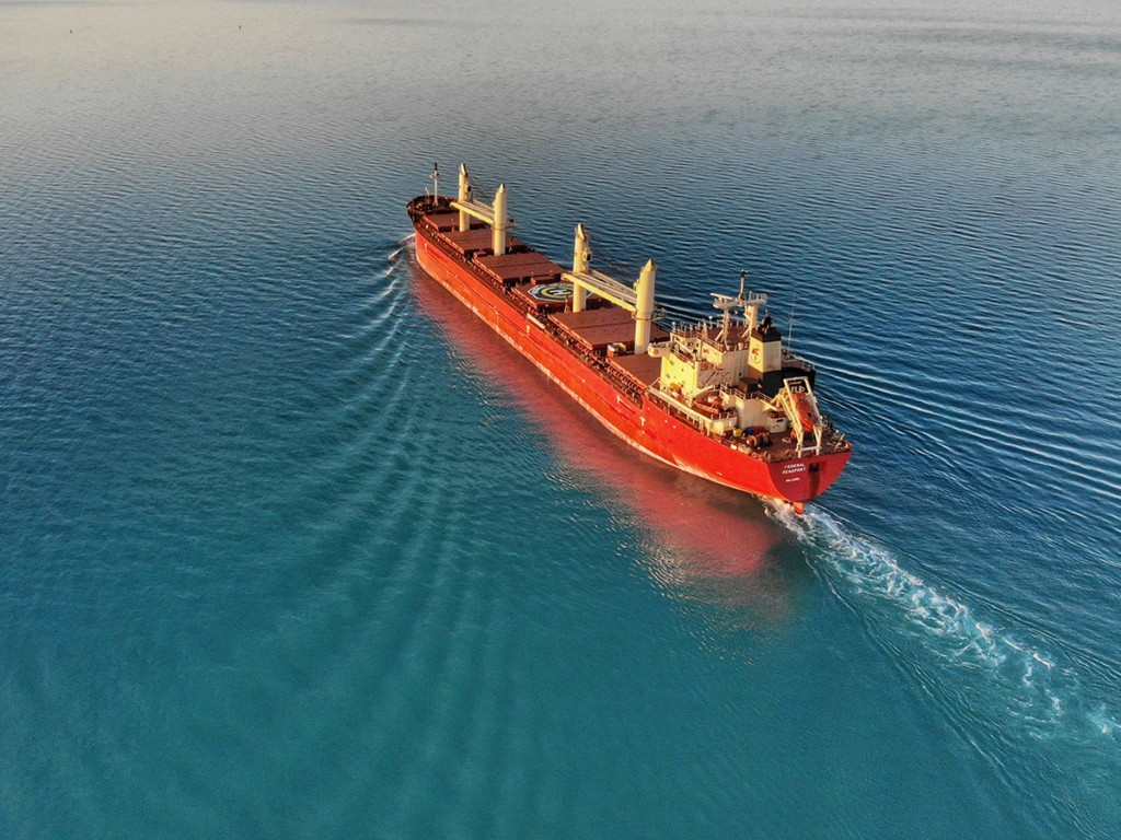
The Arctic region is Norway’s foremost strategic focus area, with maritime territories seven times larger than its landmasses. Space Norway is currently building the MicroSAR radar satellite. Tailored for monitoring Norwegian maritime zones, MicroSAR utilizes advanced technology, making it particularly relevant for maritime surveillance, including monitoring ship traffic, combating illegal fishing, and supporting maritime rescue operations. An advantage of radar surveillance is its capability to detect objects even in darkness or cloudy conditions within its coverage area.
Digitisation of shipping
The VHF Data Exchange System (VDES) is a system under development designed to contribute to e-navigation and digitisation of shipping. In 2015, Space Norway, in partnership with Kongsberg Seatex and FFI, won a contract for the development of a prototype VDES payload. Since then, the company has established a leading role internationally in specification, development and testing of the VDES system. The focus has been on the system’s satellite component. With the advantages of the VDES system, there is reason to expect that the system will become an important communication platform for global ship traffic and an important contribution to increased safety and digitisation of the shipping industry.
Space-Based Infrastructure as a Service
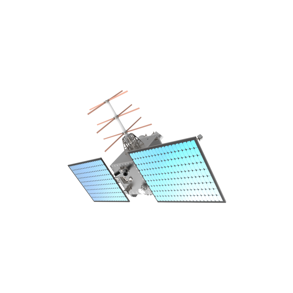
The Application Development Infrastructure in Space (ADIS) microsatellite will provide space-based infrastructure as a service, catering to both Space Norway and other collaborative partner’s needs. The primary payload on ADIS is an advanced software-defined radio, capable of operating across a broad frequency range, both in for transmit and receive, facilitating a highly flexible platform for research and development, innovation, and business development. The objective is to make it simpler, faster, and more cost-effective to utilize ADIS for test and demonstration with a signal in space than developing your own satellite.
Operational infrastructure
Read more about the fibre connection between the mainland and Longyearbyen on Svalbard, and the satellite connection to the Troll station.